






We use cookies that the site needs to work, such as for sign-in and your basket. With your permission we would also like to use Google Analytics cookies to understand how the site is used, and Google Ads cookies to measure our advertising. These are only used if you allow them, and you can change your choice at any time from "Cookie settings" at the bottom of every page.
Cookie and privacy policy
-

Datgel View
Zero-install web GIS viewer for your gINT SQL Server database — map every PointID across your projects and share an interactive map with clients.Learn more -

CPT Tool
Import CPT data from 18 file formats, calculate derived parameters, SBT, >100 correlations, liquefaction, shallow and deep foundations, user definable formulas. Produce CPT log, graph and section reports.Learn more -

DGD Tool
Geotechnical in situ and lab result storage and reporting with AS, ASTM, BSI and NZGS logging standards. Professional edition supports AGS Format and has >300 reports.Learn more -

Fence and Map Tool
Extensive range of options for reporting fences and maps, including smart features such as dynamically defined scale bars and map data marker legends.Learn more -

Monitoring Tool
Stores, calculates and reports monitoring installation and results for Settlement Markers, Survey Prism, Rod Settlement Gauge, Standpipe Piezometer, Vibrating Wire Piezometer, Magnetic Extensometer and Inclinometer.Learn more -

Output Tool
Automated batch output of reports to print or pdf, and generate cross-sections along an alignment.Learn more -

Photo Tool
Link, organise and present a range of investigation related photos and images on gINT reports.Learn more -

Lab Tool
Geotechnical and construction materials Lab Information Management System (LIMS) within gINT supporting a range of classification and compaction related tests to ISO, BSI and ASTM.Learn more -

Security Tool Enterprise
Control access to SQL Server data, gINT applications and commands, tables and individual PointIDs or lab results, based on AD user name and AD groups.Learn more -

Processor Affinity Manager
Allows for multi-core processing when using gINT on a Terminal Server, or if you open multiple instances of gINT on your desktop.Learn more -

Advanced In Situ Tool
Stores, calculates and reports Advanced In Situ tests.Learn more -

Email Sprucer
Not yet released. Files every Outlook message into the right folder automatically – by sender, recipient, email domain or a code in the subject.Learn more
-
gINT Professional Plus
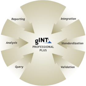
SQL Server based version of gINT with all the features of gINT Pro. A centralised data storage solution for companies with large quantities of data.Learn more -
gINT Professional
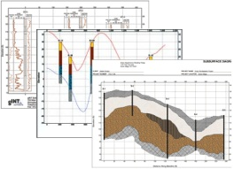
Cornerstone product, with nine report types including logs and sections/fences, and numerous import/export formats.Learn more -
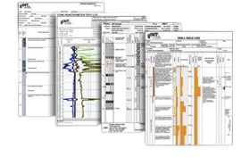
gINT Logs
Database and entry level log production - borehole, test/trial pit, well, CPT, and DCP.Learn more -

PLAXIS
Make the modeling and analysis of even your most complex geo-engineering projects easy. Take advantage of finite element and limit equilibrium analysis in 2D or 3D.Learn more -

GeoStudio
Integrated geotechnical analysis for slope stability, groundwater flow, and heat and mass transfer in soil and rock, with particular strength in limit equilibrium slope stability analysis.Learn more -

Leapfrog Works
3D subsurface modelling for civil and environmental projects, letting engineers and geologists rapidly create and update geological models that adjust dynamically as new data is added.Learn more